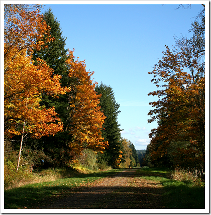
The trail is provided through an agreement between King County and the City of Seattle and makes use of the pipeline’s wide right-of-way and soft-surface access road. To find out about access points and other info about the Tolt Pipeline Trail, visit the King County Parks page, or refer to the Tolt Pipeline Trail Map.

An Aerial View of the Trail  You can use Live Search Maps to view the Tolt Pipeline Trail. The image on the right shows a bird’s eye view of the trail provided by Live Search Maps. To find out more about using bird’s eye views, see the previous posting, A bird’s eye view of Redmond High School.
Other Blog Postings on Trails
Here’s a list of other Redmond Library blog postings on regional trails:
| Marymoor Connector Trail Partly Open |
| Snohomish County Bike Trails: Centennial Trail |
| King County Bike Trails: Sammamish River Trail |
| King County Bike Trail Maps |


No comments:
Post a Comment