 The Sammamish River Trail runs 10.9 miles along the Sammamish River from Marymoor Park in Redmond to Bothell as part of the Locks to Lakes Corridor. The Sammamish River Trail is paved its entire length and is one of King County’s most popular regional trails. The trail offers extraordinary views of the river, the broad Sammamish River Valley, Cascade foothills, and Mt. Rainier.
 The Sammamish River Trail Map (16MB .pdf) provides locations of parking lots, restrooms, and other useful information. You can find trail maps on King County's new interactive Bike Map, or the new Mobile Bike Map (updated May 2012).
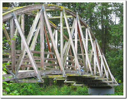
At Bothell’s Blyth Park, the Sammamish River Trail changes to the Burke-Gilman Trail and continues onward to Seattle. The pedestrian bridge at Bothell Landing is one of the scenic sights along the way.

Bothell Landing
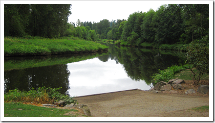
Besides a parking lot, restrooms, and a children’s play area, Bothell Landing has several other features for outdoor enthusiasts. The kayak/canoe launch near the parking lot is a great place to start a paddling trip along the river.

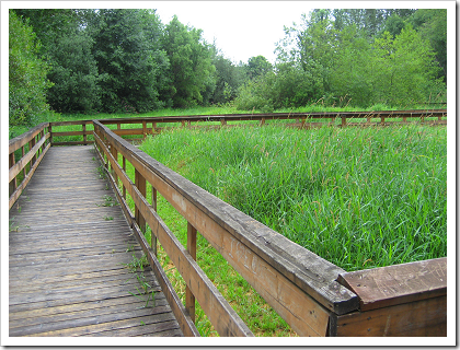
The Bothell Landing boardwalk trail, which is also near the parking lot, is a great place to view the lush greenery of the Sammamish River corridor.

Exploring Downtown Bothell
Bothell’s quaint Main Street is a couple of blocks from Bothell Landing, and makes for a pleasant side trip. Just off Main Street (18100 block of 101st Ave NE), you can find a series of murals illustrating the town’s past:
For more info, see Historic Murals: A Walk Along Bothell’s Past.
Other Blog Postings on Trails
Here’s a list of other Redmond Library blog postings on regional trails:
| Marymoor Connector Trail Partly Open |
| The Tolt Pipeline Trail |
| Snohomish County Bike Trails: Centennial Trail |
| King County Bike Trail Maps |


No comments:
Post a Comment